
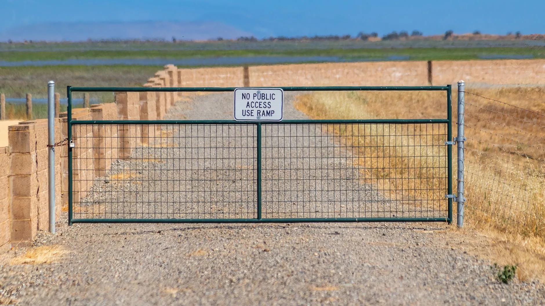
If you’ve ever punched a two-track into your GPS, assumed it was a county road, and driven confidently toward your favorite elk basin or fishing hole in southwest Montana — this story is for you. Turns out, even the county itself sometimes doesn’t know whether that road is public or private. And in Madison County, that’s a problem worth paying attention to.
Montana PBS recently sat down with Madison County officials who are actively working to inventory and clarify the legal status of roads across the county — a place that, if you’ve spent any time hunting the Gravelly Range, fishing the Ruby River, or chasing antelope across the wide-open benches toward Ennis, you know is a patchwork of BLM ground, Forest Service land, private ranches, and everything in between. The problem isn’t unique to Madison County. Across rural Montana, decades of informal use, handshake agreements, and unclear deed language have left a lot of roads in legal limbo. Hunters and anglers have used them for generations. That doesn’t automatically make them public.
This matters in a very practical way come hunting season. Southwest Montana — Madison County in particular — is one of the most coveted corners of the state for elk, mule deer, and upland birds. It’s also home to some of the best publicly accessible river fishing in the region, including stretches of the Madison River that draw anglers from across the country every fall. Access to that public land often depends entirely on whether the road leading to it is actually open to you. If county records are incomplete or wrong, a hunter could unknowingly trespass — or worse, get locked out of ground they’ve legally hunted for years without ever understanding why. On the flip side, private landowners who’ve quietly tolerated road use may finally have the documentation to close a gate they’ve wanted shut for a long time.
The effort Madison County is making to get this right is worth watching closely, especially if you recreate anywhere in the county regularly. Better road records could ultimately help hunters and anglers — clearer maps mean fewer gray areas, fewer confrontations at gates, and potentially a stronger legal foundation for keeping legitimate public routes open. It could also reveal some uncomfortable truths about roads people assumed were fair game. Either way, knowing is better than guessing. Watch the Montana PBS piece above and then go take a hard look at your go-to access routes before the next season opens.
Montana's outdoor week, in your inbox at 7am Friday.