
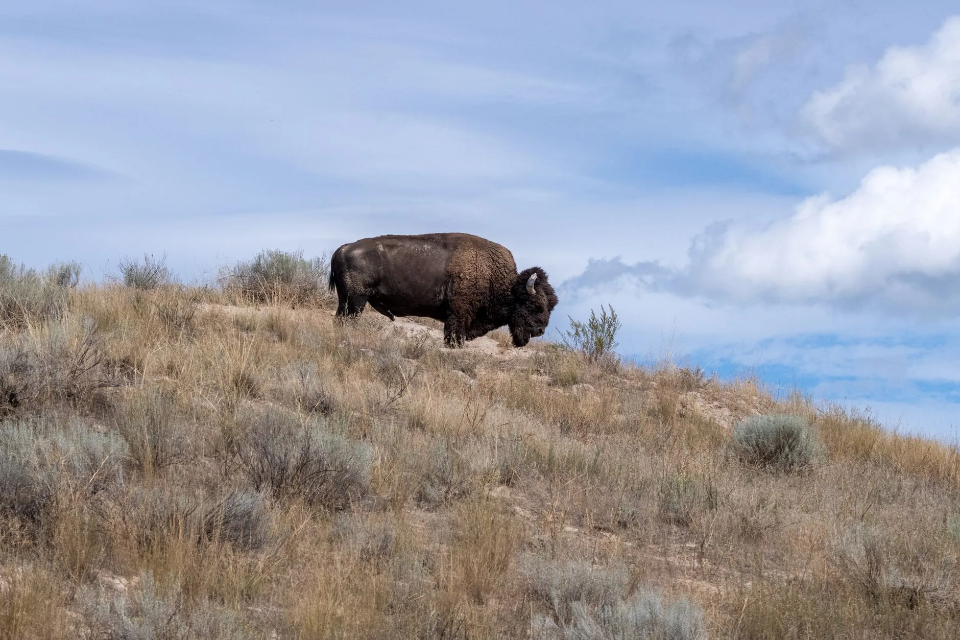
If you’ve spent any time driving the backroads of Phillips, Valley, or Fergus counties, you already know the eastern Montana prairie feels enormous — and largely empty. American Prairie has spent the better part of two decades trying to fill that emptiness back up, piecing together a connected landscape that could eventually top 3 million acres of restored shortgrass prairie. Boise State Public Radio recently took a hard look at where that effort stands, and whether you’re a supporter or a skeptic, the video is worth your time.
What the Open Fields Program Actually Means for Hunters
The part that gets buried in the bigger conservation debate is also the part most relevant to anyone who hunts or fishes this corner of the state: access. American Prairie’s Open Fields program opens the organization’s privately held land to public hunting and fishing at no charge. As of 2024, that covers well over 100,000 acres of deeded ground spread across Phillips and Valley counties — land that, under previous ownership, was largely closed to the public.
For pronghorn hunters, that’s significant. Phillips County already produces some of the strongest antelope numbers in Montana, and access has historically been the limiting factor far more than animal numbers. The Open Fields parcels sit within or adjacent to several FWP hunting districts where over-the-counter pronghorn licenses apply, meaning you don’t need a special draw to hunt some of this ground — just a valid Montana license and a willingness to put boots in the dirt. Mule deer and whitetail hunting follows similar logic, with much of the enrolled acreage falling in Districts 621 and 622, where archery and rifle seasons overlap with some of the best Missouri Breaks habitat in the state.
Upland bird hunters have reason to pay attention too. The habitat restoration work American Prairie has done on former cropland — native grass seeding, removal of old fence lines, reduction of disturbance — directly benefits sharp-tailed grouse and Hungarian partridge. These aren’t stocked birds. They’re wild populations responding to a landscape that’s slowly starting to look the way it did a century ago.
The River Angle: Fort Peck, Walleye, and Paddlefish
Conservation conversations about American Prairie tend to focus on the uplands, but the Missouri River breaks running through this region hold some of the best fishing in Montana. Fort Peck Reservoir produces trophy walleye consistently, and the stretch of the Missouri below the dam is one of the few places in the country where you can snag paddlefish during the spring season — typically open from mid-May through mid-June, though FWP adjusts dates and quotas annually, so check fwp.mt.gov before you make the drive.
The connection between prairie health and river quality isn’t abstract. Healthy native grasslands hold soil and slow runoff far better than cropland or overgrazed pasture. When that land buffers the drainages feeding Fort Peck country, the downstream effects are real — cleaner water, more stable habitat along the banks, and less sedimentation in the tributary creeks where walleye stage in spring. It’s not a guarantee, but the direction of travel is right.
The Bison Question Isn’t Going Away
American Prairie’s bison herd now numbers over 800 animals, and the organization’s long-term model depends on bison eventually moving across large, unfenced landscapes. That creates genuine friction with neighboring ranchers concerned about biosecurity — specifically, the risk of brucellosis transmission to cattle on adjacent Bureau of Land Management grazing allotments. Those concerns aren’t invented, and they haven’t been fully resolved.
For hunters, the more immediate question is what a state-managed bison season on American Prairie land would look like. Montana currently has no framework for hunting bison on privately held conservation land at this scale. FWP has engaged with American Prairie on the subject, but a formal season structure remains a work in progress. Given the herd’s growth rate, that conversation is going to become more urgent over the next few years — and hunter input through the FWP public comment process will matter when it does.
How to Access Open Fields Land
If you want to hunt or fish American Prairie’s Open Fields properties, the process is straightforward. The organization maintains an online map of enrolled parcels at americanprairie.org where you can identify specific tracts and their access rules. Some parcels require advance registration; others are open without check-in. Cell service in Phillips and Valley counties is spotty at best, so download the relevant maps before you leave pavement. And as with any eastern Montana trip, let someone know your plans — this country is big, and it stays that way once you’re in it.
Whatever your politics around the broader project, the land being assembled here is some of the most productive wildlife habitat left in the northern Great Plains. Three million connected acres would rank this among the largest conservation efforts in North American history. If you hunt or fish eastern Montana — or if you just still get a little stirred up watching a prairie thunderstorm roll in from the north — this one deserves more than a scroll past.
Editor’s note: Corrected the paddlefish snagging season dates on the Missouri below Fort Peck Dam to mid-May through mid-June to match the official 2026 regulations.
Montana's outdoor week, in your inbox at 7am Friday.