Summer in Montana is just around the corner. Springtime conditions felt almost summerlike with warmer than normal May temperatures. The seasonal transition spurred rapid snowmelt across the state during May. Snowpack across Montana is around 50%-70% of median, well below normal for June 1. This is a drastic drop from May 1 where snowpack was largely 75%-110% of median. Snowpack in the Bitterroot basin melted out especially rapidly, decreasing from around 75% of median on May 1 to around 25% of median on June 1. The Rocky Mountain Front snowpack remains well below normal, with all SNOTEL sites in the Sun-Teton-Maris basin melted out. One exception is the Bighorn Mountains, where June 1 snowpack in associated basins is 75%-120% of median.
“SNOTEL sites across Montana reached peak Snow Water Equivalent or SWE accumulation from late March to early May. The timing of peak SWE varied across the state from near normal to a few weeks early,” said Florence Miller, USDA Natural Resources Conservation Service (NRCS) Hydrologist. “Most SNOTELs accumulated between 70%-120% of normal peak snowpack. Warmer temperatures in May caused the snowpack to melt quicker than normal, which subsequently reduced snowpack percentages drastically.”
May precipitation varied across the state and fell mostly as rain. Only higher elevation SNOTELs recorded measurable snowfall. Northwest Montana had below normal May precipitation of around 55%-75% of median. Southwest and central Montana received near to above normal May precipitation at 90%-125% of median. The Gallatin, Upper Yellowstone, and Bighorn River basins had slightly below normal May precipitation of around 80% of median. The Tongue and Powder River basins experienced above normal May precipitation at 110%-125% of median. Scattered May totals bring water year to date precipitation to near normal (90%-100%) across most of the state. Northwest Montana has below normal water year to date precipitation, recording 70%-90% of normal conditions for this time of year. “The Sun-Teton-Marias River basins are in a difficult situation for snowpack and precipitation. The basin only received 59% of its normal monthly precipitation in May and dropped to its lowest water year total on record,” said Miller. Much of the Rocky Mountain Front is in category D2 Severe Drought, with very low soil moisture levels in the 0-2 percentile.
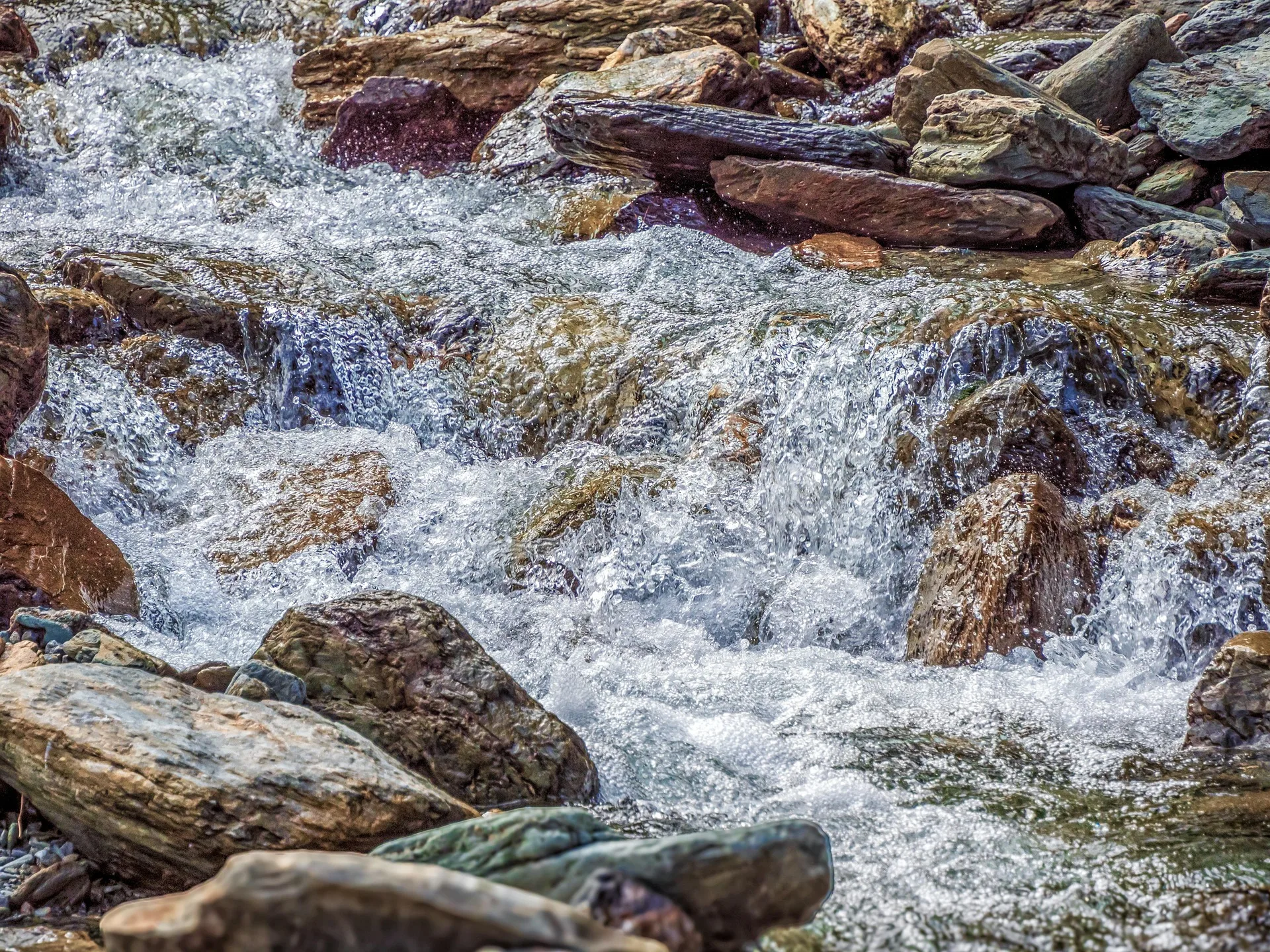
May streamflow matched snowpack and precipitation patterns. Several parts of the state, such as the tributaries to the Yellowstone, experienced above normal streamflow during May that was spurred by the rapid snowmelt. Regions with lower snowpack and precipitation totals, such as the Sun-Teton-Marias, experienced lower than normal streamflow for the month of May.
“Fast snowmelt and earlier than normal runoff in the month of May rapidly decreased snowpack statewide. This potentially corresponds to less available water later in the summer,” said Miller. “Water supply forecasts decreased from 70%-110% of normal streamflow forecasted for most of the state on May 1, to 50%-100% of streamflow forecasted on June 1.”
The Sun, Teton and Marias drainages are expected to produce extremely low runoff values ranging from around 35-60% of normal, assuming normal precipitation levels this spring-summer. The water supply forecasts for the Beaverhead and Bitterroot basins are also low, at below 50%-60% of median flows. When looking at water supply forecasts it is important to consider the full range of forecasts. Future weather will continue to determine the remainder of this year’s snowmelt and runoff season. A transition to cooler and wetter weather could help the remaining snow melt more gradually and improve the forecasted summer streamflow. A continuation of the warm and dry weather could continue this spring’s rapid runoff and further diminish the summer streamflow outlooks.
A full report of conditions on June 1 can be found in the monthly Water Supply Outlook Report available on the Montana Snow Survey website. In addition, real-time snow survey data can be found at nrcs.usda.gov/montana/snow-survey.
Source: NRCS
Photo: Pixabay