
Winter of 2026 has been a winter of contradictions, and March was no exception. The first half of the month brought a return to winter weather, while the second half ushered in an early spring.
Storms in the first half of March delivered one to ten inches of snow water equivalent (SWE) to SNOTEL sites in the northwest, west, and central regions of the state. Southwest Montana received only a few tenths of an inch to three inches of SWE. Several weeks of above normal temperatures followed, causing widespread snowmelt ranging from a few tenths of an inch to eight inches of SWE. April 1 snowpack percentages reflect these fluctuations.
“Basins that benefited from early March storms saw quick gains and losses, landing near last month’s snowpack of roughly 70-85% of median. Basins that largely missed the storm decreased to 60-70% of median snowpack. The Powder and Tongue basins sit significantly lower at around 25% and 50% of median, respectively,” explains Florence Miller, USDA Natural Resources Conservation Service Hydrologist.
While snowpack percentages compare the amount of SWE on the ground to a typical year, snowpack percentiles look at where this year’s snowpack lines up compared to previous years. In the northwest, west, and central regions of the state, percentiles currently fall between the lowest 10th to 30th percentile. The Upper Clark Fork continues to have a better outlook, with snowpack in the 66th percentile on April 1. In southwest Montana and Wyoming headwaters, all basins are below the 10th percentile, with the Jefferson, Gallatin, Bighorn, Powder and Tongue basins all recording their lowest snowpack on record.
Snowpack continues to be elevation dependent, with higher elevation SNOTEL and Snow Courses reporting near to above normal snowpack, while middle and lower elevation stations show severe deficits. As of April 1, 41 SNOTEL and Snow Courses have already melted out, with many reporting their earliest melt-out date on record. Additionally, 84 SNOTEL and Snow Courses had record low April 1 SWE, with an additional 22 stations at their second lowest.
Water-year-to-date precipitation continues to be carried by the December atmospheric river and remains near to above normal at 100-140% of median across the state. Regions such as northwest, west, and central Montana that received abundant March precipitation continue to show above normal soil moisture. Regions that largely missed the March storms such as southwest Montana, are showing increasingly dry soil moisture. Currently, 93% of the state is experiencing drought conditions.
April 1 NRCS Water Supply Forecasts are lower than the March 1 forecasts, largely due to the widespread melt of lower and middle elevation snow and the reducing benefits of higher elevation snow and early water-year precipitation. The 50% exceedance probability forecast is largely projected to be well below normal across the state at 40-110% of median. Regions holding a closer to normal high elevation snowpack, such as the Absaroka-Beartooths, and regions that benefited from the March storms such as northwest Montana and the Upper Clark Fork account for the upper end of forecasts at 90– 110% of median. For the rest of the state below normal streamflow is likely. When using NRCS water supply forecasts, it is important to consider the full forecast suite. A cool, wet spring could delay snowmelt and increase streamflow outlooks while a hot, dry spring could further accelerate snowmelt and reduce streamflow outlooks. Due to the unusual distribution of snowpack, there are additional uncertainties in water forecasting this year.
“Across the state, streamflows are rising earlier than usual, with many stream gauges reporting March flow volumes significantly higher than normal. The snowpack is very warm for this time of year, meaning the snowpack is primed for melt. This indicates an early onset to snowmelt driven runoff, so runoff volume is likely to be shifted earlier in the year,” said Miller.
More Information
A full report of conditions on April 1 can be found in the monthly Water Supply Outlook Report available on the Montana Snow Survey website. In addition, real-time snow survey data can be found at nrcs.usda.gov/montana/snow-survey.
For 90 years, NRCS has helped farmers, ranchers and forestland owners make investments in their operations and local communities to improve the quality of our air, water, soil, and wildlife habitat. NRCS uses the latest science and technology to help keep working lands working, boost agricultural economies, and increase the competitiveness of American agriculture. NRCS provides one-on-one, personalized advice and financial assistance and works with producers to help them reach their goals through voluntary, incentive-based conservation programs. For more information, visit nrcs.usda.gov.
SOURCE: NRCS press release
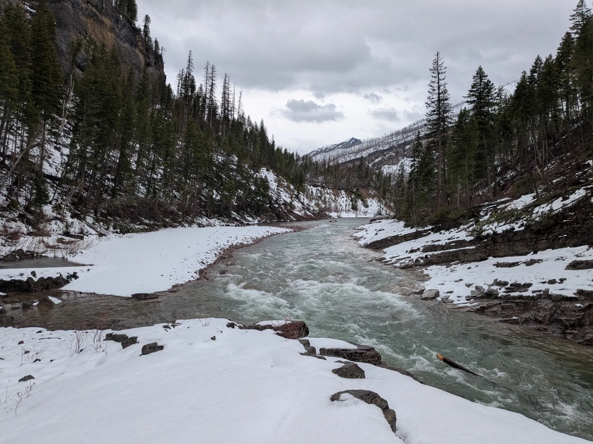
Photo caption: The contradictions of winter 2026 persisted through March. Despite a large mid-month storm, warm temperatures erased most gains, resulting in an early start to snowmelt driven runoff. Snow surveyors experienced the rapid melting firsthand on a trip to clear access to Holbrook Snow course (4,540 ft.), which is one of the 127 sites representing Montana’s snowpack that are manually measured at the end of March. In this picture, low elevation snow melts into the South Fork of the Flathead River, where four days prior a storm deposited 1.5 feet of new snow. By the end of the month, Holbrook lay free of snow for the fourth time since 1951. (photo: Javier Colton, NRCS. March 18, 2026.)