
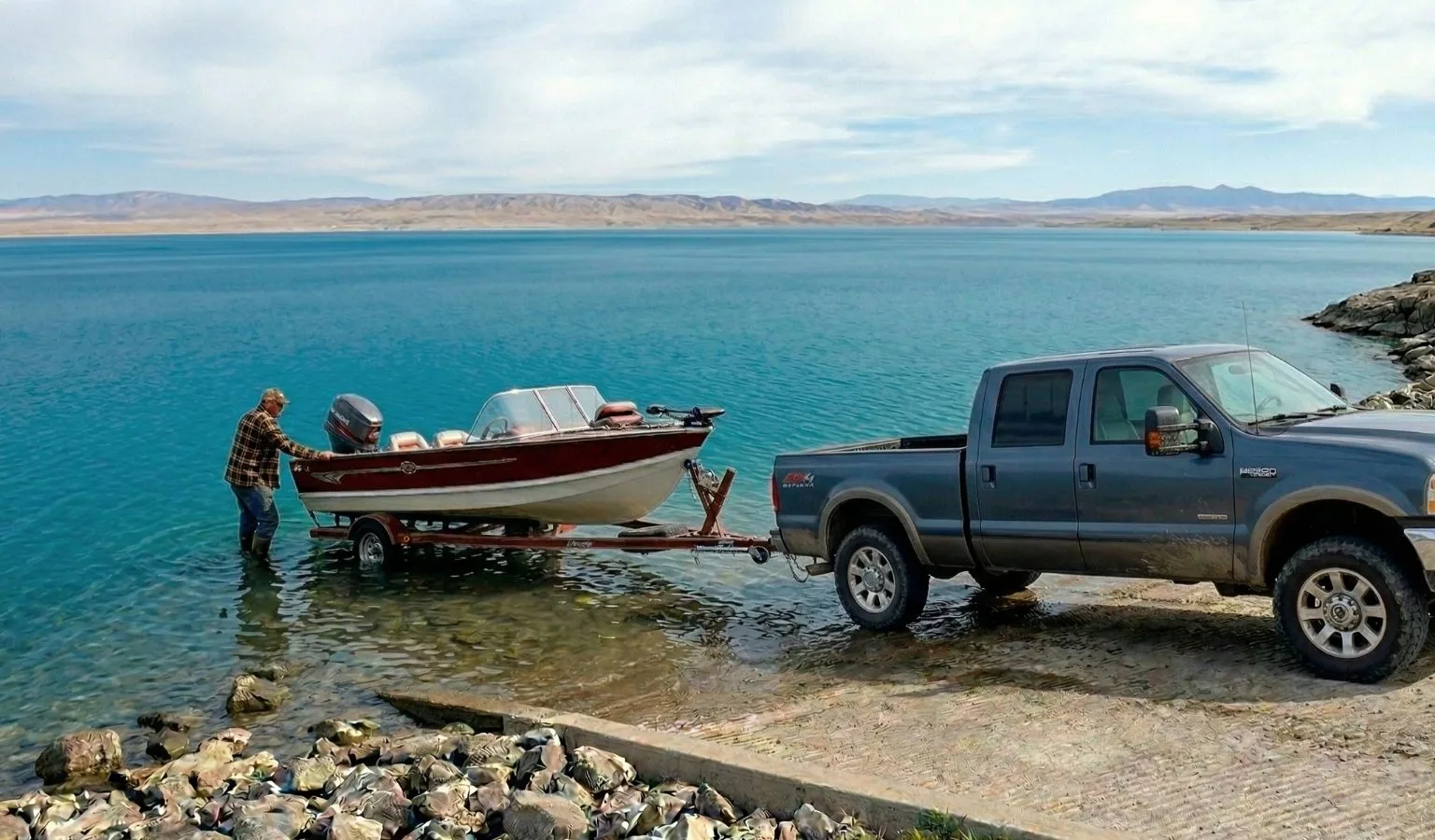
Fort Peck Lake is massive. It has more shoreline than the California coast, enough walleye to keep your frying pan busy for a decade, and—if you aren’t careful—enough fluctuating water levels to turn your boat launch into a very expensive off-roading expedition.
Whether you’re piloting a pontoon or a professional bass rig, knowing your Top and Bottom Elevations (EL) is the difference between a day on the water and a day stuck in the mud. Here’s the “cheat sheet” for your next haul to the Big Sky’s biggest puddle. Here’s some information from USACE detailing Fort Peck’s boat ramp status.
The Deep Divers: Ramps for Low Water
When the lake is feeling a bit shy and the water levels drop, you need a ramp that goes the distance. These spots have the lowest “Bottom EL,” meaning they stay submerged even when the shoreline starts to look like a moonscape.
-
Rock Creek FAS (North Fork): The undisputed heavyweight champion with a bottom elevation of 2194.0. If you can’t launch here, you might be trying to boat in a puddle.
-
Hell Creek State Park (Boy Scout): Coming in hot at 2202.0. Reliable and ready.
-
Flat Lake & Fourchette Bay: Both sitting pretty at 2204.0.
The High Society: Marina Life & Quick Launches
Looking for amenities or just a standard drop-in? These spots are managed by a mix of the Corps of Engineers (USACE), Montana Fish, Wildlife & Parks (MFWP), and local marinas.
| Area / Name | Agency | Top EL | Bottom EL | Best For… |
| Fort Peck Marina | Marina | 2248.0 | 2208.0 | Proximity to the dam and a burger. |
| Duck Creek | MFWP | 2250.0 | 2213.0 | Easy access for the weekend warriors. |
| The Pines | USACE | 2252.0 | 2214.0 | A scenic start to your Saturday. |
| Nelson Creek | USACE | 2248.0 | 2220.0 | Solid mid-range reliability. |
The “Check Twice” List
Some ramps have a narrower “sweet spot.” If the water is exceptionally low, you might want to double-check your depth before backing down these:
-
Hell Creek Marina: With a bottom elevation of 2229.0, it’s the highest on our list. Great for convenience, but check the lake levels first!
-
Crooked Creek Marina: Bottoms out at 2223.0.
-
Bone Trail: A rugged name for a rugged spot, bottoming at 2222.0.
Know Before You Go (The Coordinates)
Lost in the Missouri Breaks? Punch these into your GPS so you don’t end up in a cow pasture.
-
Devils Creek: $N 47^\circ 37′ 05.55″ / W 107^\circ 39′ 13.80″$
-
Rock Creek Marina (South Fork): $N 47^\circ 44′ 03.13″ / W 106^\circ 15′ 07.18″$
-
Bone Trail: $N 47^\circ 40′ 29.39″ / W 107^\circ 14′ 51.71″$
Pro Tip: Fort Peck is notorious for wind. A ramp that looks easy at 8:00 AM can become a white-knuckle experience by noon. Always match your ramp choice to the daily wind direction to avoid a broadside bashing against the concrete!
Tight lines and dry tailgates, folks.