
From Beaverhead Deerlodge National Forest
Good afternoon. Our recreation staff across the B-D continue their work to assess campgrounds and recreation sites, trails, and roads as the snow melts. A lot of garbage has been revealed and their work includes cleanup of this garbage so please remember to ‘pack it in, pack it out’ as you begin enjoying the warmer weather recreation opportunities on the B-D.
The following report is from the Madison Ranger District, and includes their upcoming plans for prescribed burning on the District and the status of campgrounds and roads.
* Cliff and Wade Lakes Day Use Sites
* Be advised that starting in June we will be implementing day use fees at Cliff and Wade Lake Day Use sites. Recreation personnel have been struggling to keep up with the tremendous increase in visitor use over the last 4-5 years. Issues with vehicles blocking the road, preventing a safe exit or entry for emergency personnel and Law Enforcement Officials into the area, as well as the increased cost of maintaining this area have resulted in the decision to implement a day use fee for both sites. The goal is to balance resource protection with providing multiple user groups a safe recreation experience.
The $5.00 per vehicle fee will help provide for the funding to clearly establish parking areas, implement garbage service, improve fire rings and picnic tables, and help cover other maintenance costs that are resulting from heavy use. Due to this year’s snowpack, the fee will not go into effect until sometime in June 2023. We will keep everyone posted on the actual date that the day use fee will go into effect. Starting in 2024, day use fees will be in effect from May 15th to September 15th each year. Both a Scan and Pay option and traditional envelopes for cash/check payments will be available for members of the public to submit the fee.
We understand that this is a major shift in management strategy for this very popular area. Please feel free to reach out to Joel Sather at the Madison Ranger District if you have any questions.
Campgrounds:
* We opened the gate to Riverview Campground yesterday. All the campsites are free of snow.
* West Fork Campground has a little bit of snow left on the road, but the campsites are clear. Reminder that this is a tent only campground.
* Madison River Campground is accessible, but there is still 1-2’ of snow in the campsites.
Roads:
* Still not possible to drive to the junction of West Fork Road and Standard Creek Road.
* Up the Ruby River it is possible to drive ¼ mile past the Lazyman road. Looking down the Ruby road there is a series of snowdrifts and bare spots. The road is opening up and drying out quickly.
* Also up the Ruby on the Warm Springs road, you can drive to the designated dispersed camping area, but then there is snow on the road after that.
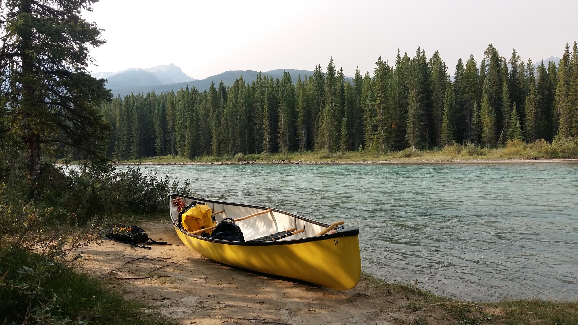
* Attached is a picture looking up the Antelope Basin road. The picture is taken from the cattle guard right off the highway. There is a bit of snow left out there!
* Prescribed Burning
* Our fire and fuels crews may be busy in the coming weeks. Please give us a call if you have any questions and we can get you to the right folks. Attached are the maps to the burn units referenced below.
From the fire shop:
The Madison Ranger District will be conducting prescribed burning in the coming week or two as favorable conditions allow in the Antelope Basin area of the Gravelly Mountain Range south of Ennis. Timing of these burns is dependent on snow melt, spring green up, and ability to access the burn units.
This season we are anticipating being able to implement two specific units, the Limestone unit, and the Pothole unit, totaling approximately 1600 acres.
The focus of these burns is to increase the aspen component, and aspen vigor across the landscape to improve habitat for wildlife and to increase aspen recruitment where age classes are limited, and the aspen clones are not growing above the browse height. Smoke may be visible from the Madison Valley and US Hwy 287, as well as MT Hwy 87.
Photos: Maps of the prescribed burn areas – please call the Madison Ranger District with any questions.
Topics
Hunt in Montana