
The Bitterroot National Forest will temporarily open several roads this summer for the public to access personal use firewood. To learn more about each area and view maps of the locations, visit our website, call, or stop by any Forest Service office.
The 2025 firewood cutting areas are:
- Forest Roads 73582 & 73599 (Echo Gulch) – Darby/Sula Ranger District
- Forest Roads 13313 & 13314 (Upper and Lower Teepee Creek) – Darby/Sula Ranger District
- Forest Road 5685 *(Thunder Mountain) – West Fork Ranger District
- Forest Road 5662 *(South Coal Creek) – West Fork Ranger District
The forest will open these designated areas in an effort to provide more accessible firewood beginning this Sunday, June 15th. These areas are scheduled to remain open until Wednesday, October 15th or sooner, depending on fire conditions and restrictions. Gates may also be closed at any time for administrative purposes as determined by the District Ranger.
* The Thunder Mountain 5685 and South Coal Creek 5662 roads will close early on Monday, August 25th.
Woodcutters are reminded of the requirements to have a spark arrester on their chainsaws and to carry a shovel, bucket, and fire extinguisher at all times. Please use wide shoulders and turnouts for parking. Not all roads have turn-arounds for trailers. As with wood cutting elsewhere on the forest, no trees are to be felled onto the roadway and all slash must be piled. Firewood gathering is prohibited in all developed recreation areas, campgrounds, and within 150 feet of streams, creeks, and waterways.
Law enforcement will be monitoring the roads. Forest officials advise woodcutters to drive defensively and notify them of any downed trees or road damage.
You can obtain a firewood permit at any Bitterroot National Forest office, Monday – Friday, 8:00 a.m. – 4:30 p.m. The permits are free and allow for up to 12 cords of firewood for your personal use.
Your hard-copy permit will be issued at the office and is good through December 31, 2025. Firewood maps are also available at Forest Service offices or can be downloaded at www.fs.usda.gov/r01/bitterroot/maps-guides
Remember, you can help continue the success of this program by removing firewood debris from road surfaces and ditches and by respecting other forest users and natural resources. Thank you for your responsible use of National Forest System lands!
For more information contact your local Bitterroot National Forest office or visit www.fs.usda.gov/r01/bitterroot
Stevensville Ranger District, (406) 777-5461
Darby/Sula Ranger District, (406) 821-3913
West Fork Ranger District, (406) 821-3269
Supervisor’s Office – Hamilton, (406) 363-7100
About the Forest Service: The USDA Forest Service has for more than 100 years brought people and communities together to answer the call of conservation. Grounded in world-class science and technology–and rooted in communities–the Forest Service connects people to nature and to each other. The Forest Service cares for shared natural resources in ways that promote lasting economic, ecological, and social vitality. The agency manages 193 million acres of public land, provides assistance to state and private landowners, maintains the largest wildland fire and forestry research organizations in the world. The Forest Service also has either a direct or indirect role in stewardship of about 900 million forested acres within the U.S., of which over 130 million acres are urban forests where most Americans live.
Source: U.S. Forest Service
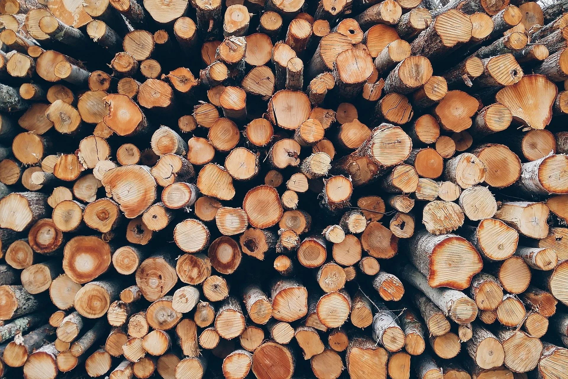
Photo: Pixabay


