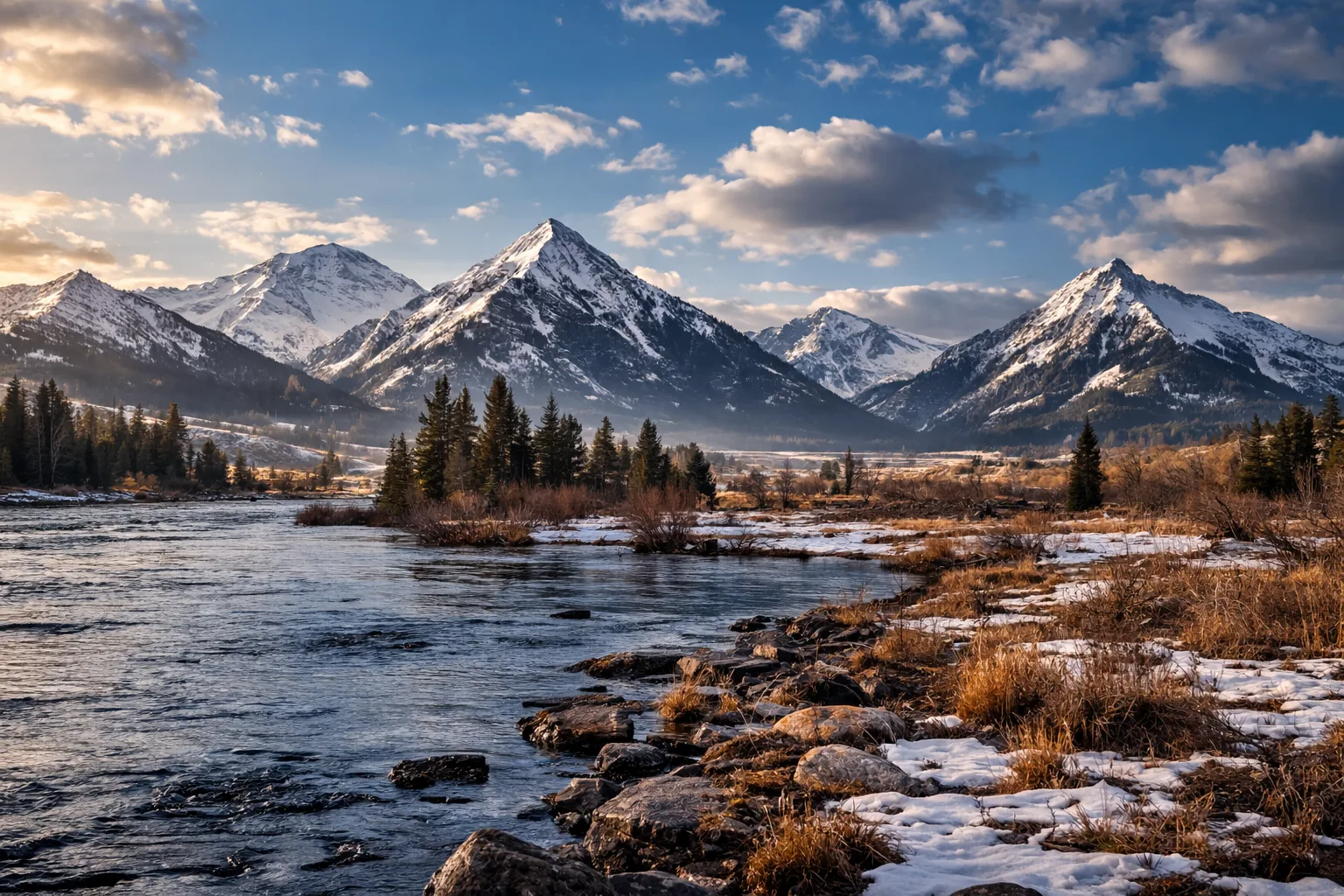
If you’re the kind of person who watches mountain snowpack like other people watch the stock market, the latest (as of Sunday, March 15, 2026) SNOTEL data for Montana tells a story that’s a little messy—but mostly encouraging.
As of March 15, the state’s mountains are sitting in a strange but familiar position: plenty of moisture overall, but snowpack itself varies widely depending on where you look.
In many basins, precipitation totals for the water year are comfortably above normal. Several regions are sitting around 110–130% of their median precipitation, which is good news for reservoirs, rivers, and anyone who depends on runoff later this year. The Upper Clark Fork basin, for example, is running particularly wet with precipitation around 129% of normal, while the Sun, Teton, and Marias basins are even higher at roughly 137% of median.
But snowpack—the actual stored water sitting in the mountains—tells a different story.
Some areas are doing well. The Upper Clark Fork Basin is one of the bright spots, with snow water equivalent (SWE) averaging about 112% of normal, meaning the mountains there are holding more snow than they typically do this time of year. The Helena Valley area is also above normal, around 104%, while the Upper Yellowstone Basin is sitting right at 100%, essentially dead-on average.
Other basins are a bit behind. The Madison River Basin and Gallatin River Basin are both hovering in the mid-80% range, suggesting snowpack there could still use a few late-season storms. The Kootenai Basin is around 81% of normal, and the St. Mary’s Basin sits at roughly 82%.
And then there are the outliers.
Northern prairie-influenced basins are struggling. The Milk River Basin is extremely low at about 34% of normal snowpack, while parts of the Tongue River Basin in Wyoming are sitting around 69%. A few individual sites show even more dramatic numbers—places like Burnt Mountain in the Upper Yellowstone basin are reporting snowpack closer to 24% of median, while others nearby are comfortably above normal.
That contrast highlights something from this winter: storms have delivered solid moisture, but not always as consistent mountain snow.
In other words, Montana has been getting wet—but not always snowy in the right places.
The good news is that it’s still March, and the northern Rockies often might still pick up significant snow well into April. If the pattern shifts toward cooler, snowier storms, many of the slightly below-average basins could still catch up.
For now, the headline is simple: water supply prospects look decent thanks to strong precipitation totals, but snowpack itself remains uneven across the state. The rest of the season will determine whether that moisture stays locked in the mountains long enough to deliver a healthy spring runoff.
In the world of western water, all we can do is wait!
You can check out the full report here.