
BRETT FRENCH | bfrench@billingsgazette.com
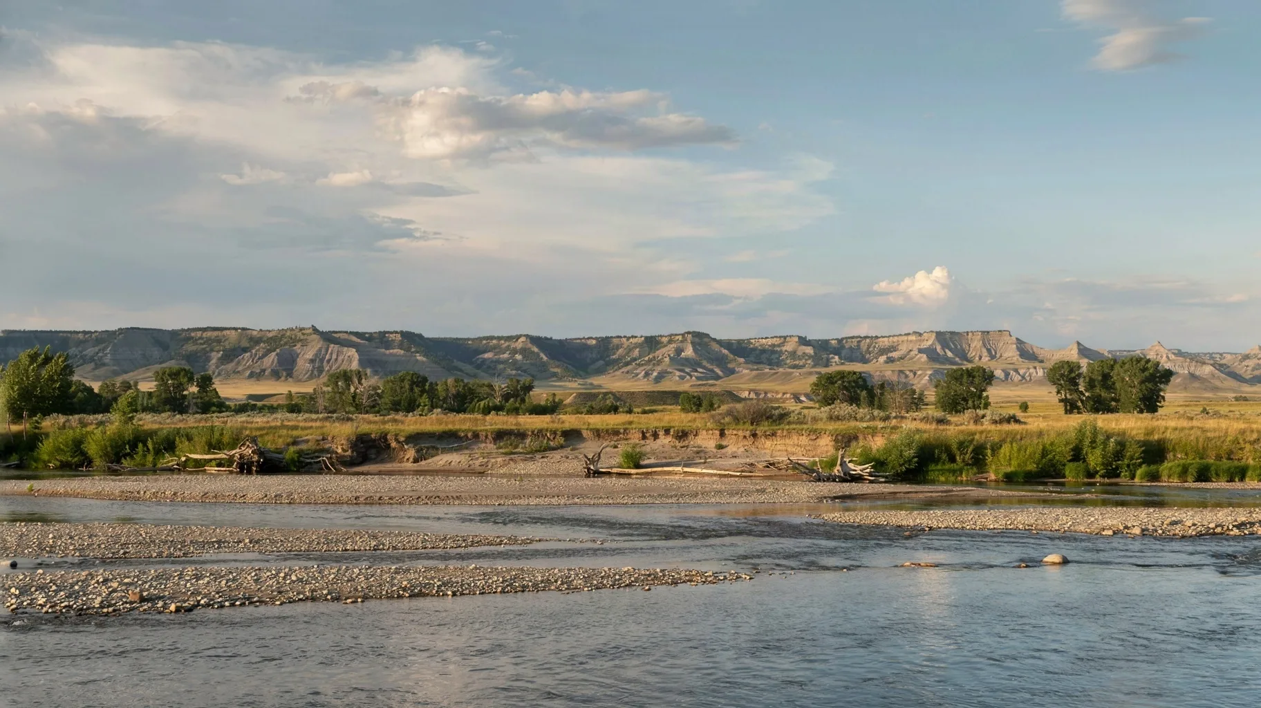
A new fishing access is being proposed on the north side of the Yellowstone River about 2 miles east of Terry.
Details of the plan are contained in a 19-page Bureau of Land Management environmental assessment. The agency is taking public comment on the proposal through Nov. 9 since the boat launch, parking area and latrine would be built on BLM land.
Access to the site would be off Coal Creek Road via the Big Sky Backcountry Byway (Highway 253 from Terry to Wolf Point).
Montana Fish, Wildlife & Parks requested a 30-year right-of-way to access the site and is proposing to upgrade a 2-mile-long two-track road, build a 16- by 200-foot concrete ramp, add a gravel parking lot and a vault latrine.
Fencing and cattle guards would be added, since BLM leases the surrounding land for cattle grazing.
Construction would not begin until after July 31 and should be completed within 60 days. The timing is meant to avoid high water as well as the spawning migration of endangered pallid sturgeon and the drifting of any of their hatched embryos.
Use of the new boat ramp isn’t expected to be a lot, with FWP estimating two to five vehicles on weekdays and six to 12 vehicles on weekends and holidays.
FWP had considered building the fishing access site on Montana-owned land about a mile farther downstream but “because the land is developed for agricultural use, with the access road crossing spreader dikes or agricultural irrigated field, it was not pursued,” the environmental assessment noted. “The second alternative considered purchasing private land upstream along the HWY 253 bridge. FWP was unable to purchase the property at fair market value and therefore not pursued.”
The new site is located along a 260-mile stretch of the lower Yellowstone River highlighted in 2021 by a public working group, appointed by Gov. Greg Gianforte, as needing more recreational access for boaters.
“We’re working on the governor’s initiative to reduce access gaps to the lower Yellowstone River, and this is right in the heart of an access gap,” Brian Burky, FWP regional parks and outdoor recreation manager, said in a statement. “You could float from this location to the Fallon Bridge fishing access site in half a day or a little more.”
Work on the Prairie County project would be funded through lower Yellowstone access project money and federal Dingell-Johnson taxes on fishing equipment. An estimate for the cost of the project was not provided.
From Hysham downstream to where the Yellowstone connects to the Missouri River near the North Dakota border four large gaps, from 36 to 50 miles long, were identified as areas in need of public access by the Lower Yellowstone River Corridor Advisory Committee.
“Building a new access site at this location gives recreationists another option for safe launching or retrieval on this stretch of the river,” Eric Lepisto, BLM’s Miles City field manager, said in a statement. “People can enjoy this new option to either shorten their river runs, or to access more of the river downstream without having to cross private land or float farther to the next boat ramp.”
The proposal drew a letter of support with 50 signatures from Prairie County residents, the BLM reported.
According to the environmental assessment, FWP is also pursuing a potential fishing access site adjacent to the Milwaukee Road Bridge, about 10 miles upstream of Terry on BLM land.
“This location is currently used by limited public due to its unmaintained two-track road, lack of facilities, and the ongoing U.S. Department of Transportation Milwaukee Bridge rehabilitation work,” the environmental assessment said. “This potential FAS may be pursued and established subsequent to this proposed action upon completion of the bridge rehabilitation work, estimated for Fall 2028.”
The bridge accesses the Calypso Special Recreation Management Area within the BLM’s Terry Badlands Wilderness Study Area where the Natural Bridges trail is located.
Also highlighting this lower section of the Yellowstone River is a portion of the Lewis and Clark National Historic Trail, commemorating the 1803-1806 expedition.
In July 1806, Capt. William Clark, 20 men, his guide Sacagawea and her son split off from the main expedition group at Travelers’ Rest, near what is now Lolo. While Meriwether Lewis and his men set off along the Blackfoot River, Clark went south, leaving 10 men to navigate the Missouri downstream from Three Forks before continuing on with the rest of the crew to the Yellowstone River.
After building canoes near present-day Park City, in Stillwater County, Clark began a downstream journey on July 24, 1806, while Sgt. Nathaniel Pryor and four men took the group’s horses overland.
During the canoe trip, Clark and his party stopped at Pompeys Pillar where he carved his name and the date into the landmark’s sandstone. The site is now a national monument managed by the BLM.
In all, it took the party 10 days to float from Park City to the mouth of the Yellowstone River where they met the other half of the group traveling down the Missouri River.
In between, they were kept awake by bull bison bellowing during the annual rut, noted a wealth of coal in the hills near Miles City, encountered the largest grizzly bear Clark had seen near Glendive and witnessed thousands of buffalo that took more than an hour to swim across the river in front of their canoes.
To comment on the fishing access site proposal log on to the BLM ePlanning site.
Montana's outdoor week, in your inbox at 7am Friday.