
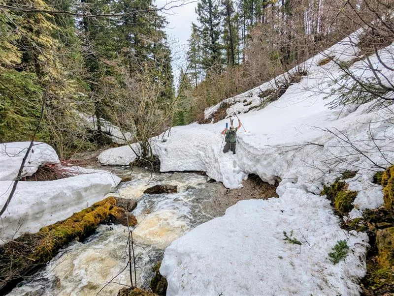
BOZEMAN, Mont., May 7, 2025 – April ushered in the transition from winter to spring in the Montana snowpack accumulation season. “Most SNOTEL sites have passed peak Snow Water Equivalent “SWE” accumulation for the season,” said Florence Miller, USDA Natural Resources Conservation Service (NRCS) Hydrologist. Overall, SNOTEL sites reached near to below normal peak SWE. The timing of peak snowpack accumulation ranged from near normal to 10-20 days early. This is reflected in the May 1 snowpack percentages with southwest and central Montana snowpack at 95 to 110% of median and snowpack across the western portion of the state decreasing slightly from April 1 values to 75 to 90% of median. The Sun-Teton-Marias basin maintained well below normal snowpack throughout the winter and is currently at 61% of median SWE for May 1.
Average temperatures across Montana for the month of April were near to slightly above normal. “This was accentuated by several April warm spells that brought periods of above normal temperatures and initiated snowmelt across many low- to mid-elevation SNOTEL sites,” said Miller. April precipitation varied across the state. The northwest saw near normal April precipitation, while central and southwest Montana saw below normal April precipitation. April storms favored the Beartooth and Bighorn mountains, with their associated basins receiving above normal April precipitation. Water year to date precipitation is the cumulative precipitation received from October 1 to September 30. Across southwest and central Montana water year precipitation is near normal. The northwest has yet to recover from its early precipitation deficit and is at 75 to 90% of median water year to date precipitation.
“The shift to spring brought to a close the bulk of the snowpack accumulation season and started the snowmelt and runoff season,” said Miller. Statewide snowpack densities are increasing, indicating a snowpack ripe for runoff. Many SNOTEL sites are beginning to melt with some lower elevation sites completely melted out. May 1 streamflow forecasts reflect water year precipitation and current snowpack conditions and are near to below normal across much of the state, with some isolated pockets of above normal streamflow. Most May-July streamflows are forecasted to be between 70 to 110% of median. Areas with larger snowpack deficits, such as the Sun-Teton-Marias are forecasted to have below normal streamflows of 60 to 75% of median. The Jefferson basin is also forecasted to have lower streamflows of around 35 to 90% of median, with the Beaverhead subbasin responsible for the lower end of the range. The Bighorn and Upper Yellowstone basins originating in Wyoming and flowing into south central Montana are forecasted to have near to above normal streamflows between 90 and 115% of median. The Powder River basin missed the springtime accumulation that benefited its neighbors, resulting in below normal forecasted streamflows of 60 to 70% of median. Future weather will determine the nature this year’s snowmelt and runoff season. A cooler spring facilitating a gradual runoff and additional precipitation will help improve forecasted summer streamflow conditions. A warmer, drier spring promoting a rapid runoff will diminish the summer streamflow outlooks.
A full report of conditions on May 1 can be found in the monthly Water Supply Outlook Report available on the Montana Snow Survey website. In addition, real-time snow survey data can be found atnrcs.usda.gov/montana/snow-survey.
Source: Montana NCRS press release