From Idaho Fish and Game
If you told me years ago that my fisheries degree would have me studying aeronautical charts and piloting drones, I’d have called you crazy. But here we are.
Each year, Idaho Fish and Game licensed drone pilots take to the sky to survey Chinook salmon spawning grounds. Navigating trees, wildfire smoke, and curious birds, we collect images of the streambed along 170 miles of historic Chinook spawning habitat in the Upper Salmon River and its tributary streams.
Before the advent of drones, Fish and Game utilized fixed-wing planes, helicopters, and physical ground counts to count Chinook salmon nests—or redds. While our staff, volunteers, and tribal organizations still walk hundreds of miles of stream each year, the Salmon Regional Office conducts many of our surveys using drones.

So, what exactly are we counting?
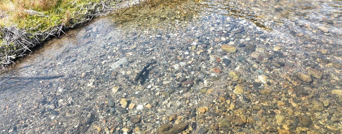
You may recall from previous blog posts that Chinook salmon spawn in Idaho streams during late summer after returning from the ocean, depositing eggs and burying them for incubation through fall and early winter.
In the video below, a female Chinook salmon continues work on her redd, burying deposited eggs and diverting oxygenated water over them for incubation. The disturbance they create in the streambed can be identified and counted as a redd and used as a metric to describe spawning escapement—or the number of fish that successfully return to spawning grounds in Idaho.
https://idfg.idaho.gov/media/oembed?url=https%3A//vimeo.com/1032480896%3Fshare%3Dcopy%23t%3D0&max_width=800&max_height=450&hash=k7IeqW0_FHFLXA0ikTfzeAWe0RnZmGeIllBgM5KonFs
Identifying redds from the air is a bit different from traditional on-the-ground methods, with unique subjectivity that requires specific training and some experience. Last year, we highlighted how Fish and Game identifies redds from an aerial perspective in this vlog, with specific examples of redds counted in the Upper Salmon River during the 2023 spawning ground surveys.
So, how exactly do we do it? Once in the air, the drones do most of the work, flying the river corridor around 150 feet in the air at nearly 12 miles per hour, photographing the streambed every 30 feet or so.