
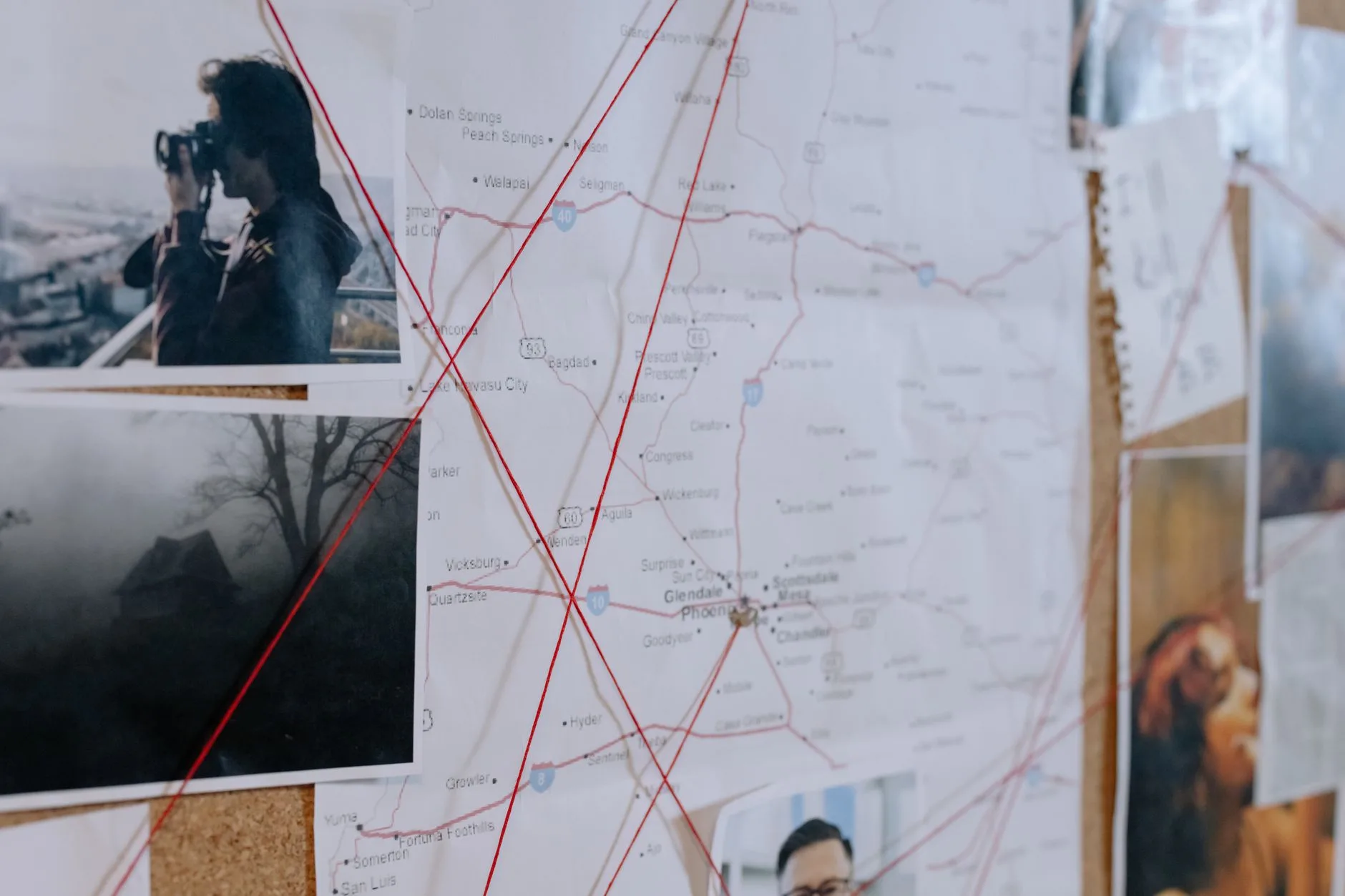
Nobody at the Cenex in Townsend asks how you’re doing this time of year. It’s straight to it: “You get your elk yet?” Week two of general rifle season is underway, and from the Bitterroot to the Beartooths, from the Highwood Mountains to the upper Gallatin drainages, hunters are deep in it. The rut is winding down, pressure on public land is real, and the difference between punching a tag and driving home empty often comes down to one thing: knowing exactly where you can legally go.
That’s where digital mapping has quietly become one of the most consequential changes in how Montanans hunt. Apps like onX Hunt have shifted from novelty to necessity over the past several seasons, and right now — in the middle of a general season where every decision about where to park the truck matters — hunters using these tools well have a genuine edge over those who aren’t.
The Access Problem Is Real, and It’s Getting More Complicated
Montana has an enormous amount of public land, but it isn’t seamlessly connected. Anyone who’s hunted the foothills east of the Crazy Mountains, or tried to push into national forest country above the Blackfoot River corridor, knows that public and private ground is stitched together in a patchwork that can change block by block. Walk the wrong direction from a good wallow you found on BLM ground and you can end up on private land without realizing it — and that’s a problem that goes well beyond an uncomfortable conversation with a landowner.
Digital mapping apps solve this by putting property boundaries directly on a GPS-enabled map you carry in your pocket. The ownership layers in onX are updated regularly and pull from county parcel data, so when you’re glassing a ridge above the Smith River and wondering whether that bench is BLM or deeded, you can check in seconds. That’s not a small thing. It’s the difference between a confident approach and a hesitant one — and in elk country, hesitation costs you.
Block Management Areas: The Feature Most Hunters Underuse
Here’s where Montana hunters who are already using digital maps often leave real value on the table. Montana Fish, Wildlife & Parks administers one of the most expansive Block Management programs in the West, and right now — in the second week of general season — a significant number of those enrolled properties are open and seeing comparatively light pressure compared to adjacent public ground.
Both onX Hunt and the FWP Block Management mapping tool let you locate enrolled properties by hunting district. The detail most hunters miss is that BMA properties vary significantly in their access rules. Some are walk-in only. Some require a check-in with the landowner. Some have specific boundaries or glassing restrictions. The map layer tells you where the property is, but you need to read the property details carefully and, when required, contact the landowner or check in at a designated point before you set foot on it. Always confirm current BMA access rules directly with Montana FWP — enrollment status and specific conditions can change mid-season, sometimes without much warning.
In the Big Hole Valley, the Sun River country west of Augusta, and along the agricultural edges of the Missouri Breaks, BMA properties can put you in front of deer and elk that simply aren’t being pressured by the public-land crowd. Use the digital tools to find them. Then do the old-fashioned work of making a phone call or a morning check-in.
How to Use onX Hunt Smarter Right Now
If you’re headed out this weekend, a few specific habits will get you a lot more out of your mapping app during week two.
Download your offline maps before you leave cell range. Most of the drainages worth hunting in the Bob Marshall, the Absaroka-Beartooth, or the Selway-Bitterroot have spotty to nonexistent cell coverage. Download the offline map layer for your hunting unit the night before — not in the trailhead parking lot at 5 a.m.
Use waypoints to mark your entry point, your truck, and any sign you find. After a long day in the dark timber above the Blackfoot, your memory of where that fresh rub line was is a lot less reliable than a saved pin. Also layer wilderness boundaries on top of your property data — in units that border designated wilderness, game retrieval and camping rules can differ, and knowing exactly where that boundary falls matters on pack-in hunts.
- Share your map with your hunting partner before you split up. onX lets you share custom maps — including waypoints and tracks — with other app users. In steep country, that’s a genuine safety tool, not just a convenience.
- Check the public land access layers against your current position when you’re glassing from a high point. That basin you’re looking into might be a mix of national forest and private inholdings. Know before you commit to a stalk.
The App Doesn’t Replace Local Knowledge — It Amplifies It
Honestly, no app is going to tell you where the elk are. The digital map shows you where you can go. Knowing where you should go is still a product of years in specific country, conversations with biologists and game wardens, and the kind of observation that only comes from boot leather. What these tools do is eliminate the wasted half-days spent second-guessing a property line or backtracking out of a drainage you weren’t sure about. They give you confidence to move faster and hunt more aggressively — and in week two, when the elk have had pressure on them for days and the easy country has already been worked over, that confidence matters more than any other gear in your pack.
Montana's outdoor week, in your inbox at 7am Friday.